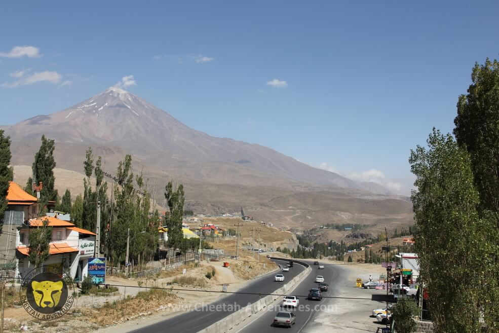

Damavand South Face in August from Haraz Road Next to Polour
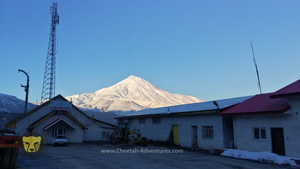
Damavand South Face in winter from Polour, Haraz Road
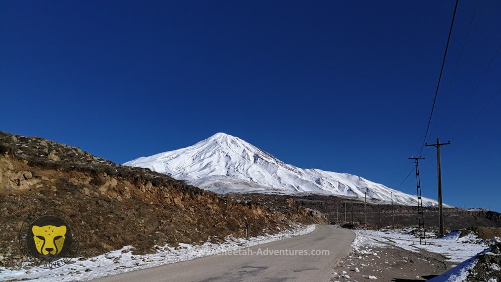
Damavand South Face in winter from Polour-Rineh Road
Guest House in Rineh Village
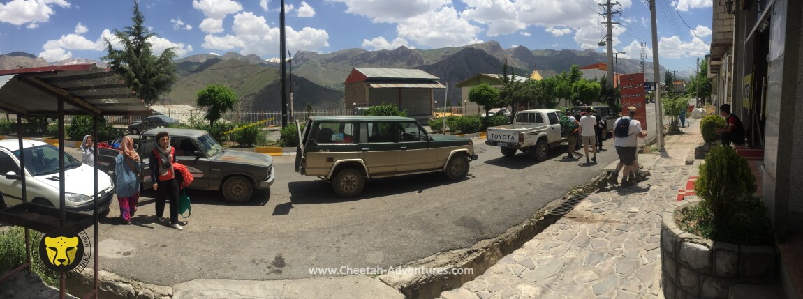
Jeeps to drive the team to Goosfandsara, Rineh Village
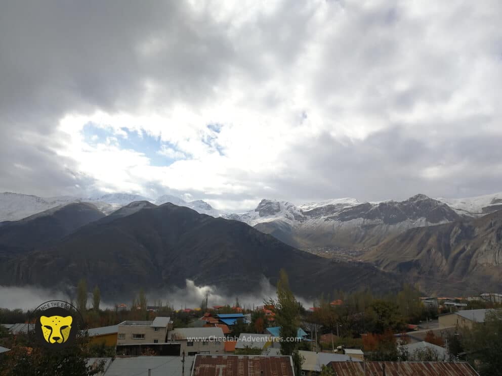
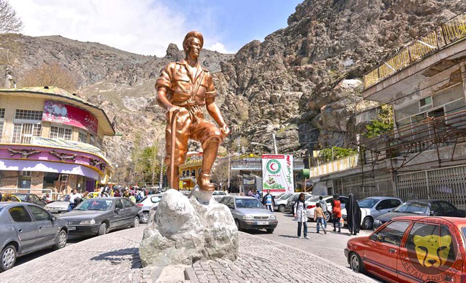
Rineh Village (2200m) at Damavand's feet
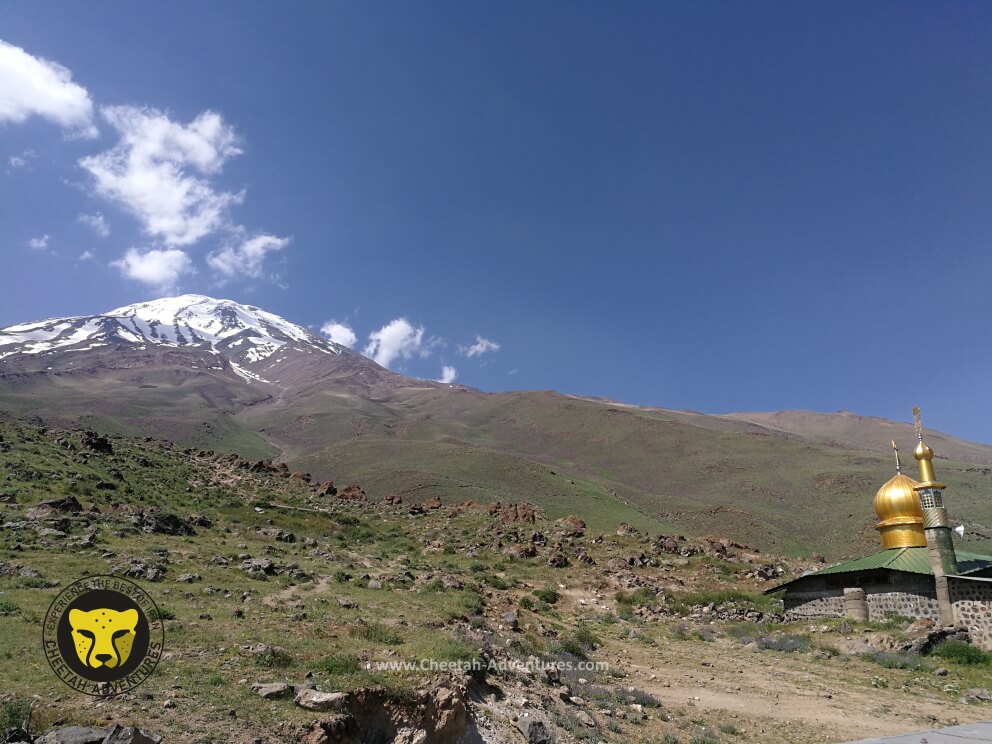
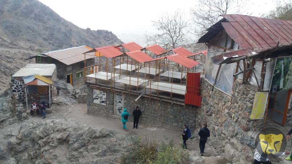
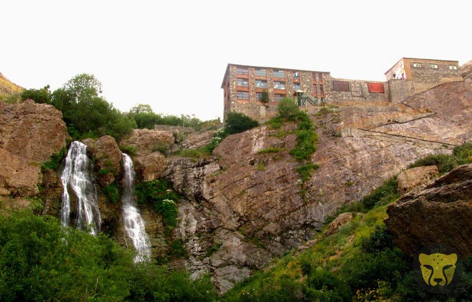
Damavand and the Mosque from Goosfandsara basecamp (3000m)
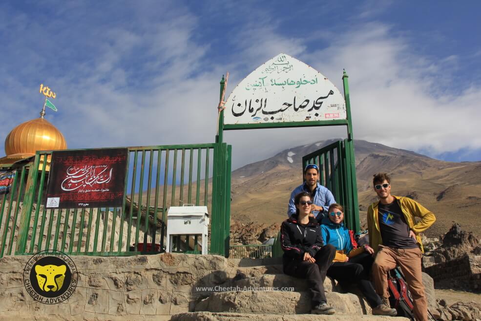
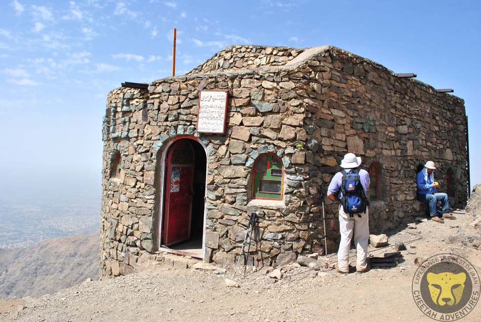
Damavand Mosque in Goosfandsara Basecamp (3000m)
Damavand Puppies in June, around Goosfandsara basecamp (3000m)
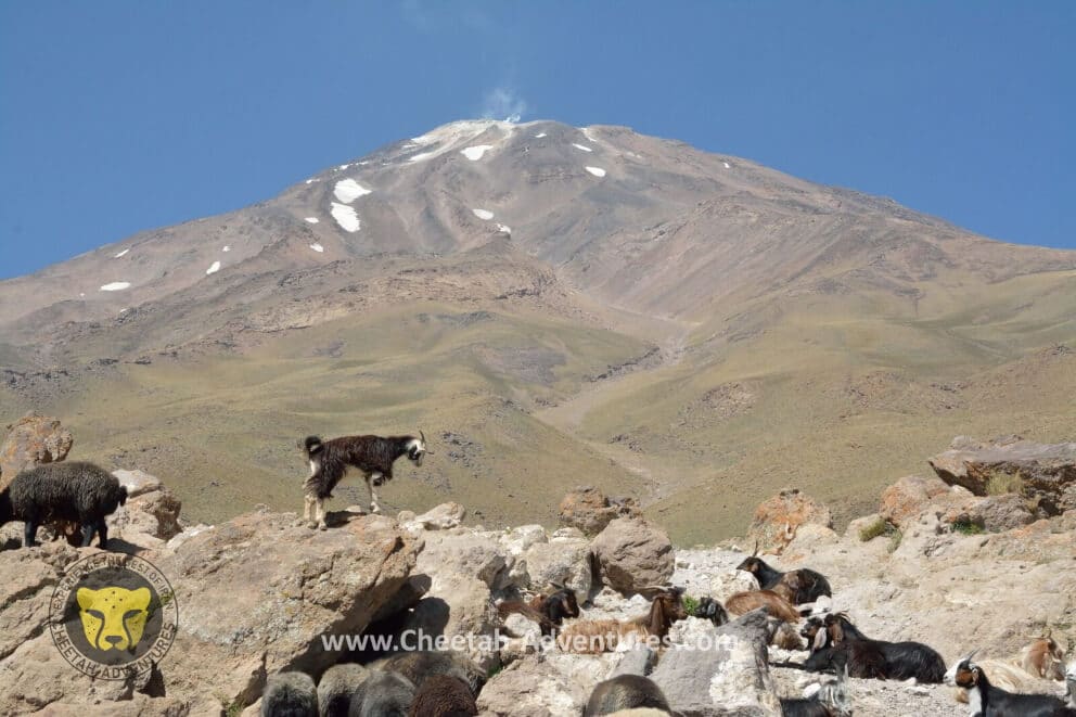
Goats and Sheeps in Goosfandsara (3000m), Damavand South BC
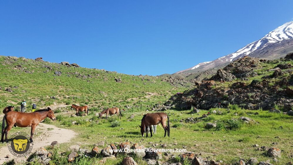
Horses and Mules around Goosfandsara basecamp, Damavand south face
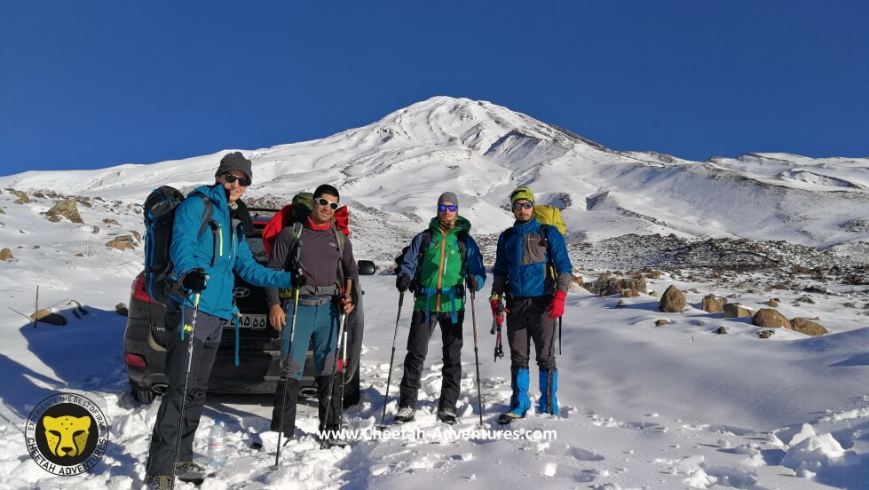
On the way to Goosfandsara basecamp in winter, Mount Damavand
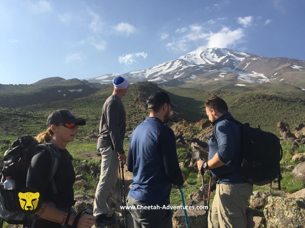
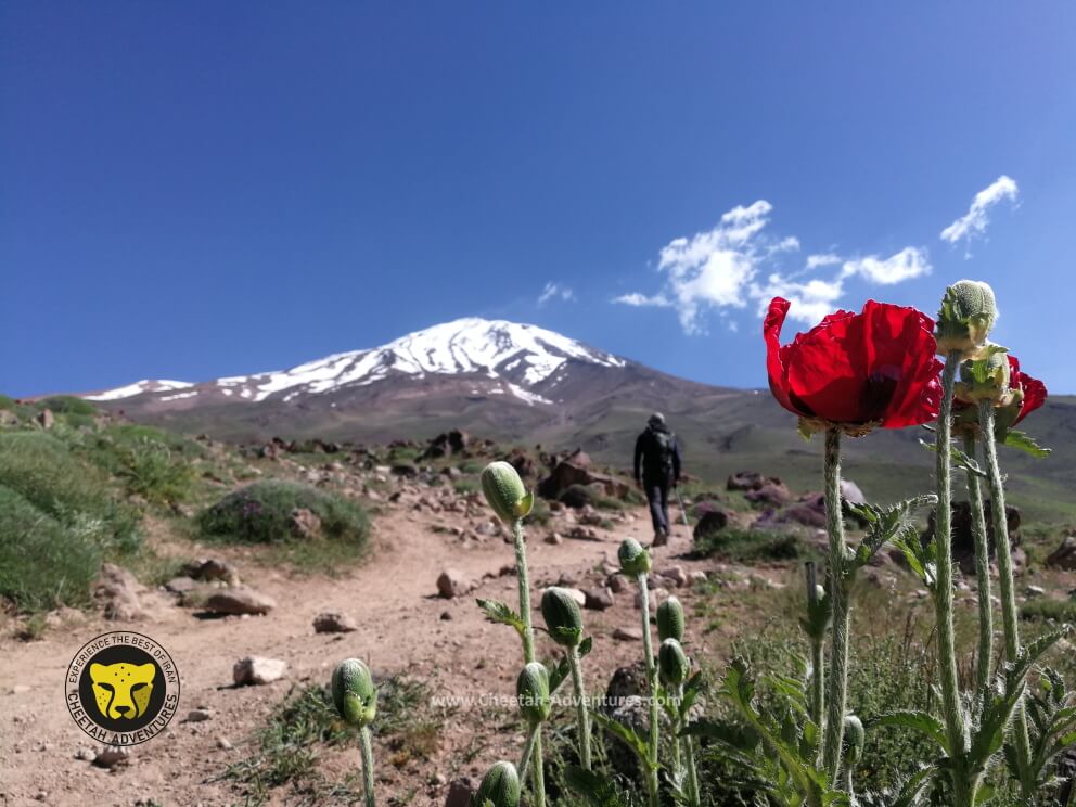
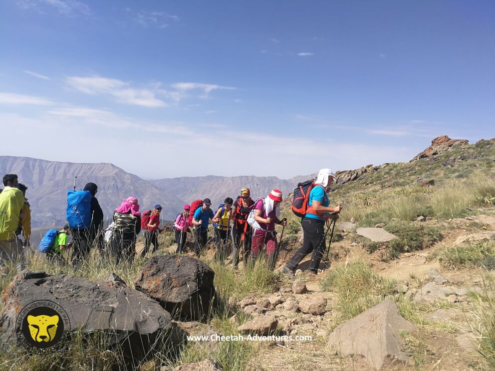
Acclimatization trek above Goosfandsara at 3300m, Damavand South route
Acclimatization trekking above goosfanndsara at 3600m
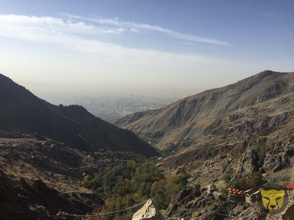
Dobarar Range at the background
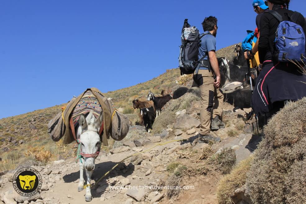
Mules are carrying luggages to the Hut, Damavand South route
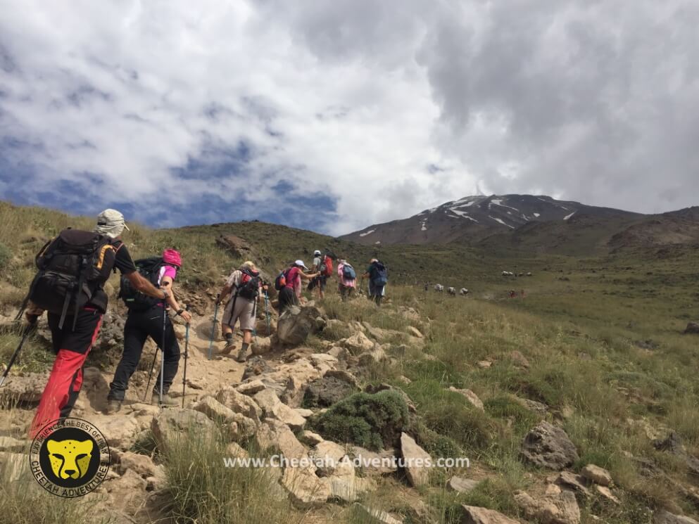
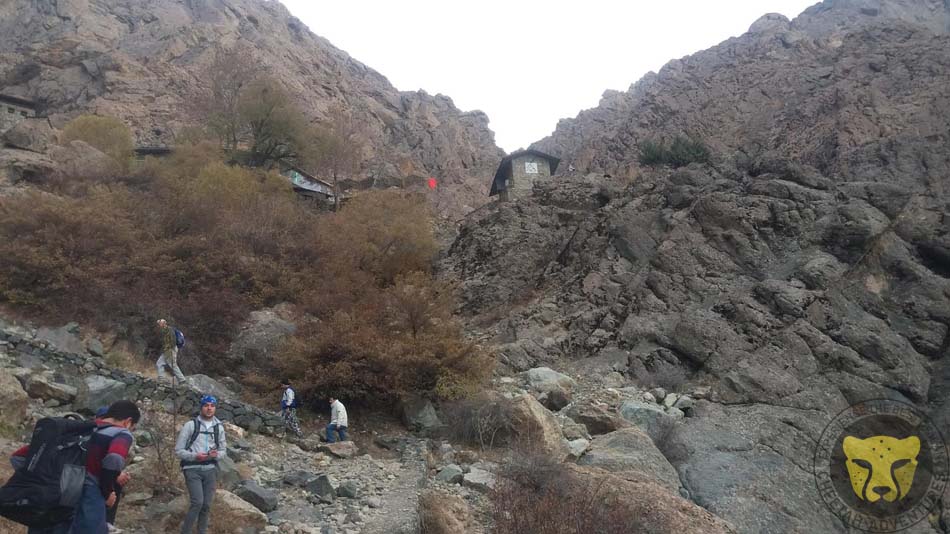
On the way from Goosfandsara to Bargah-e Sevom Hut at 3500m
On the way from Goosfandsara to Hut at 3700m, Damavand south route
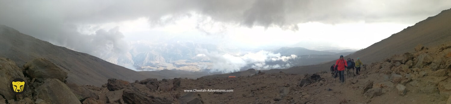
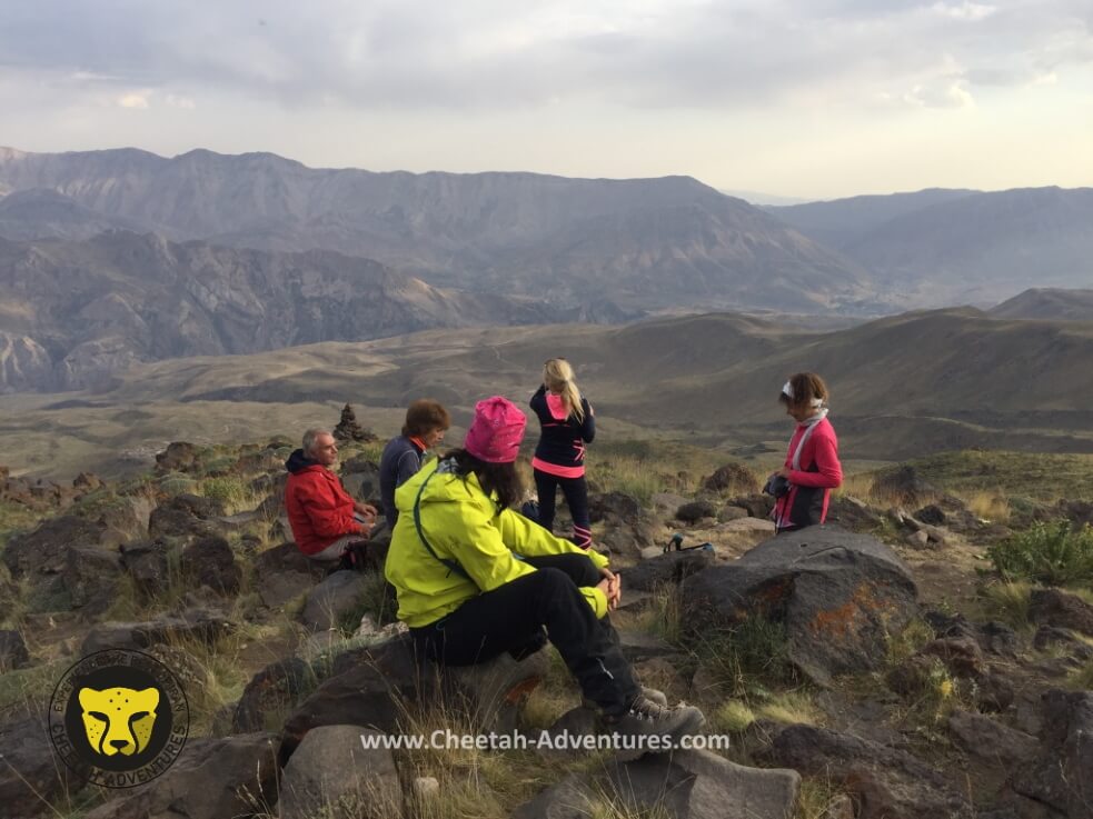
A view above Bargah-e Sevom Hut, acclimatization
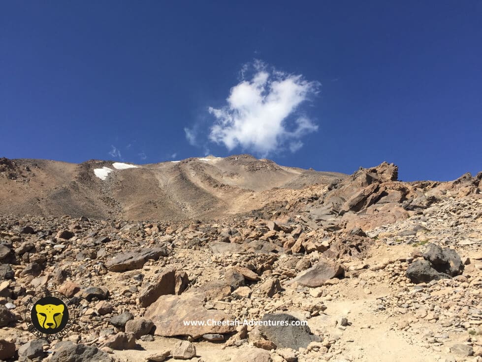
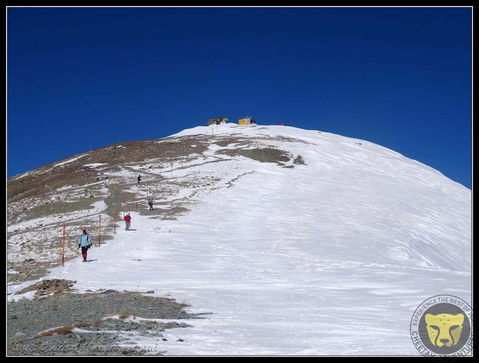
A view of Damavand fake summit from the Hut at 4200m
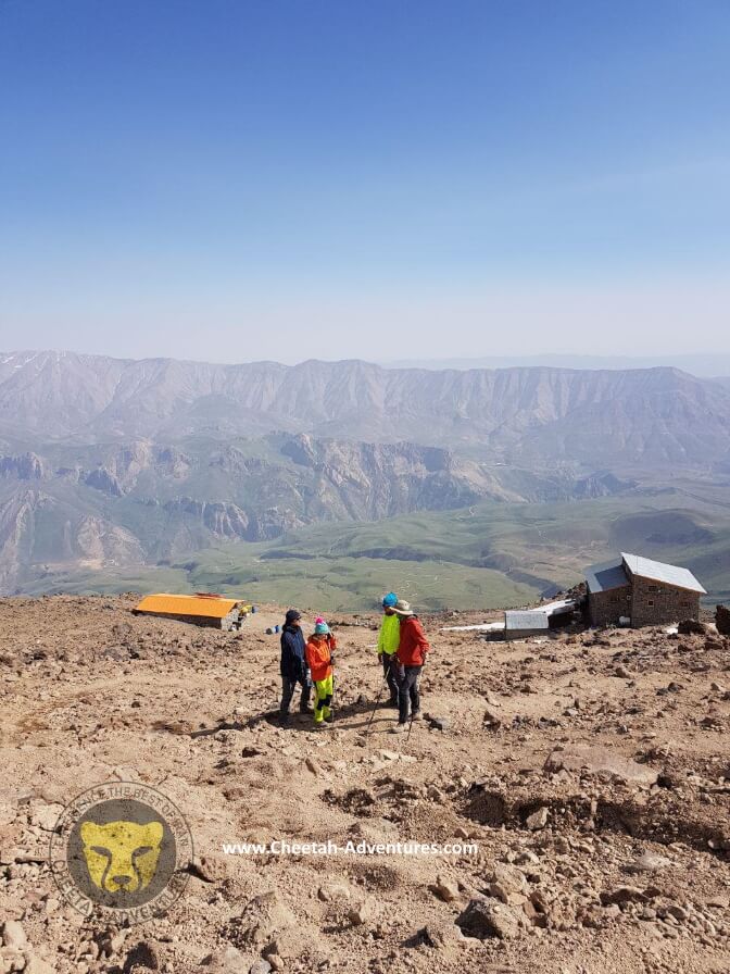
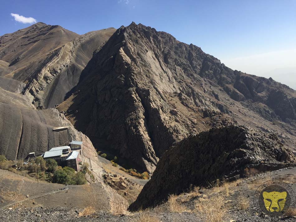
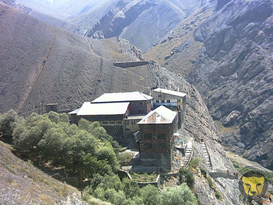
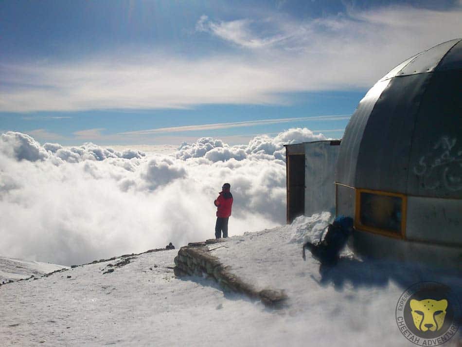
Bargah-e Sevom hut (4200m), Dobarar Range at the background
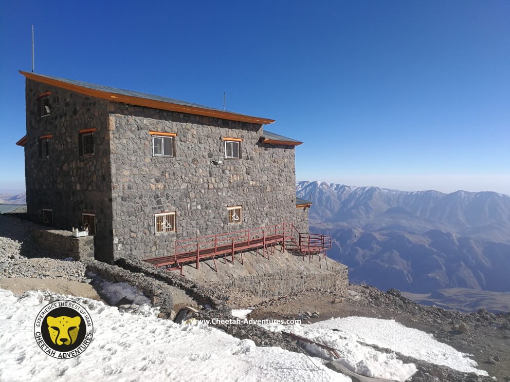
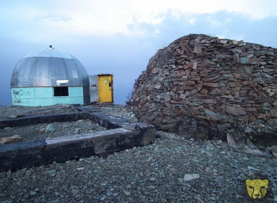
Bargah-e Sevom Hut at 4200m
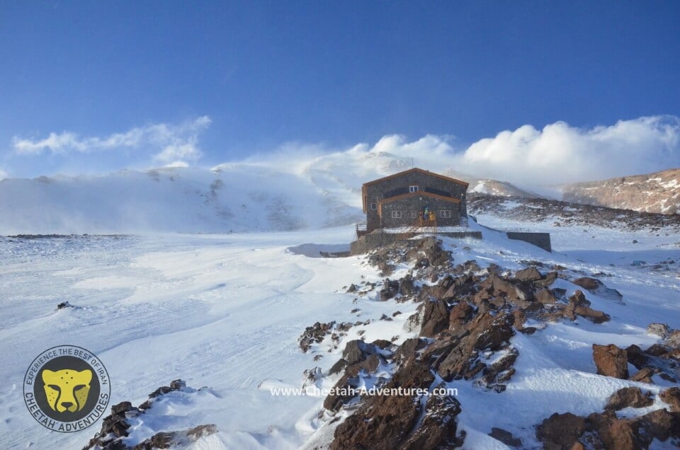
Bargah-e Sevom Hut in winter, Damavand South Face
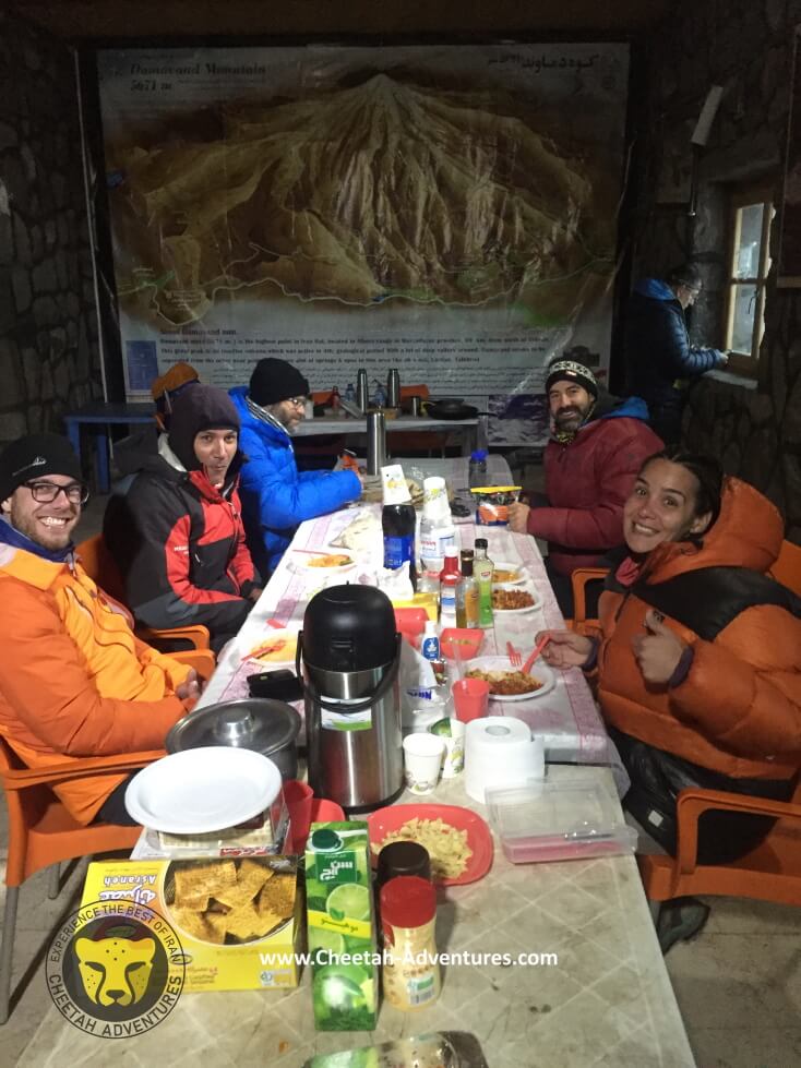
Having dinner in Bargah-e Sevom Hut, damavand south route
Laar Lake and the old shelter at Bargah-e Sevom, damavand south face
Acclimatization above Bargah-e sevom Hut
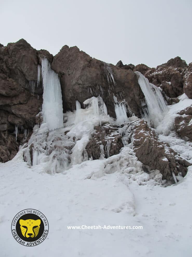
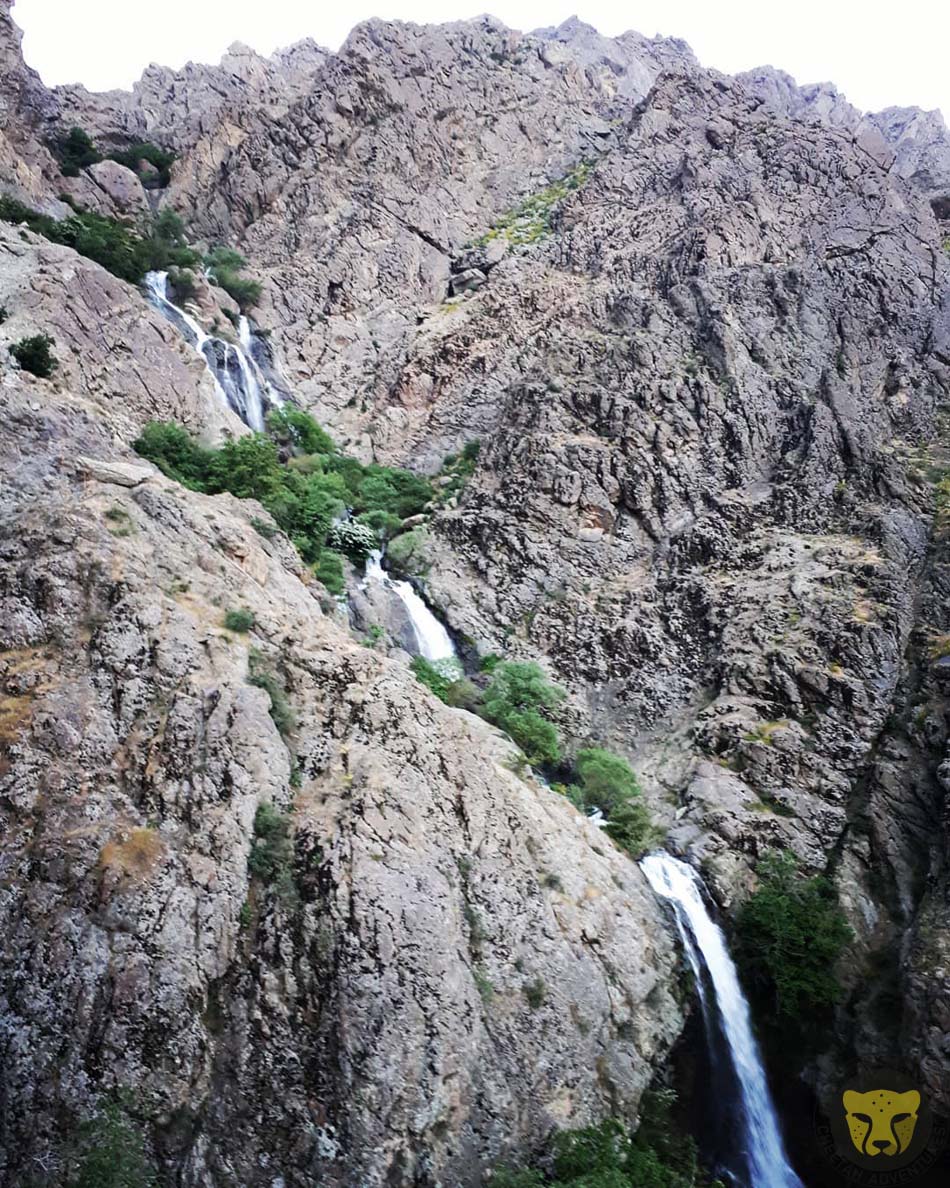
Abshar-e Yakhi ice waterfall (4900m)
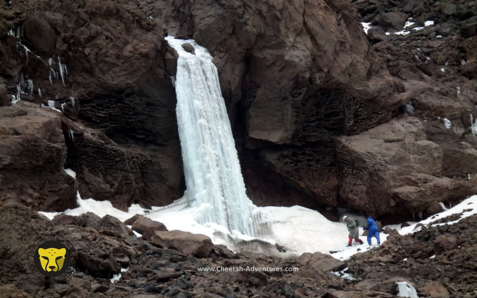
Abshar-e Yakhi ice waterfall (4900m)
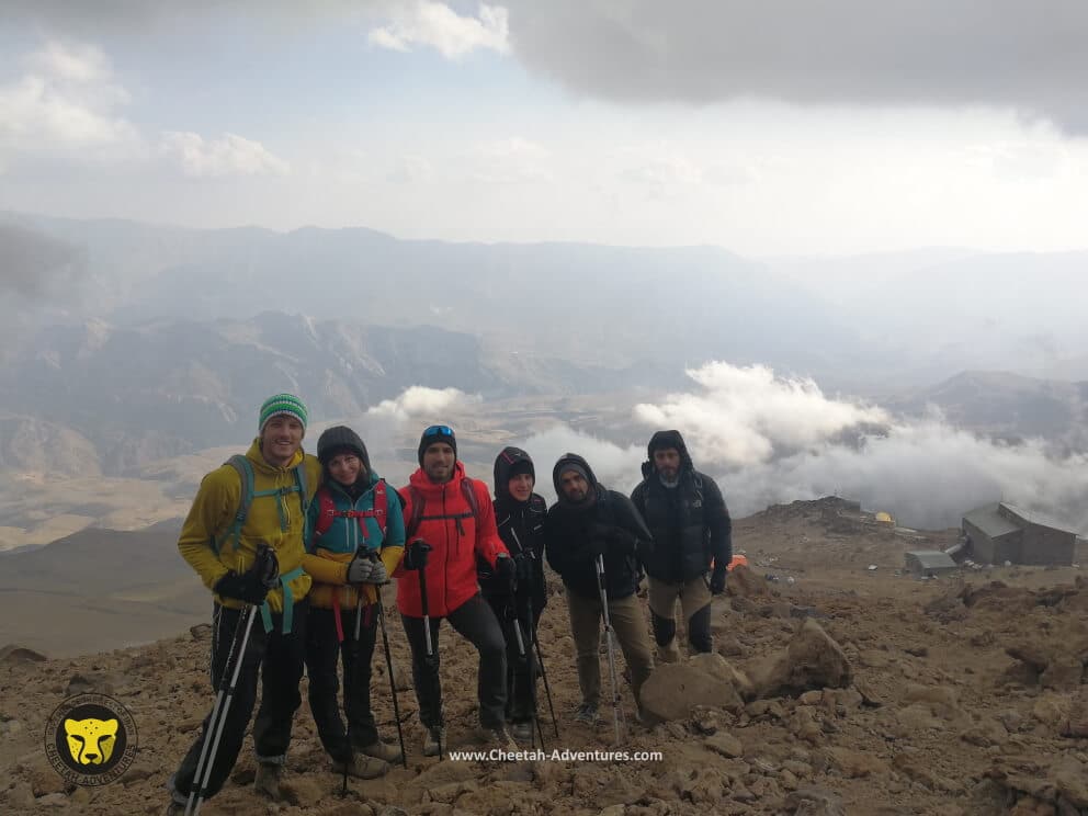
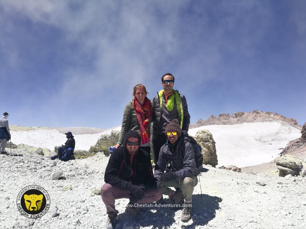
On the top of the fake summit, beginning of the sulfur hill at 5350m, Laar Lake at the background
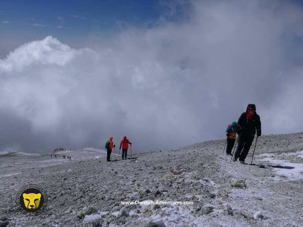
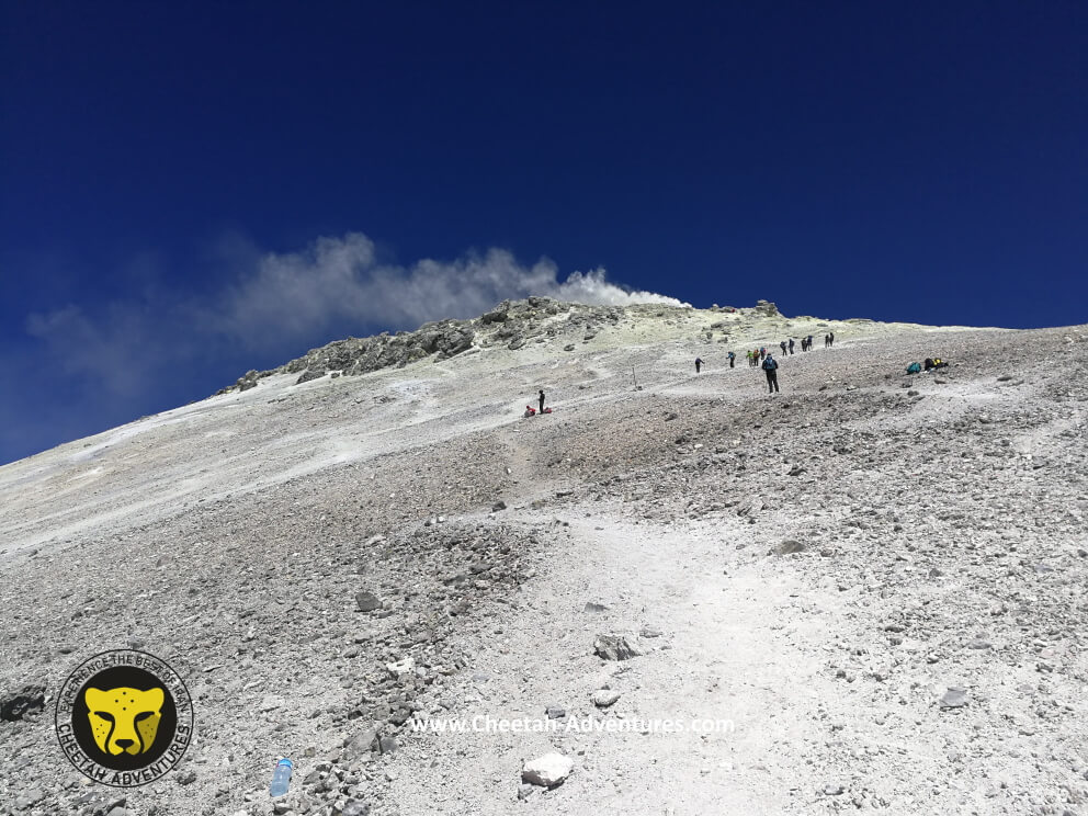
Sulfur Hill at 5500m, last steps to the top of Damavand
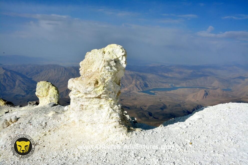
Sulfuric Rocks at the beggining of the sulfur hill (5350m), South face of Damavand
The last 200m to Damavand Summit, Sulfur Hill at 5400m
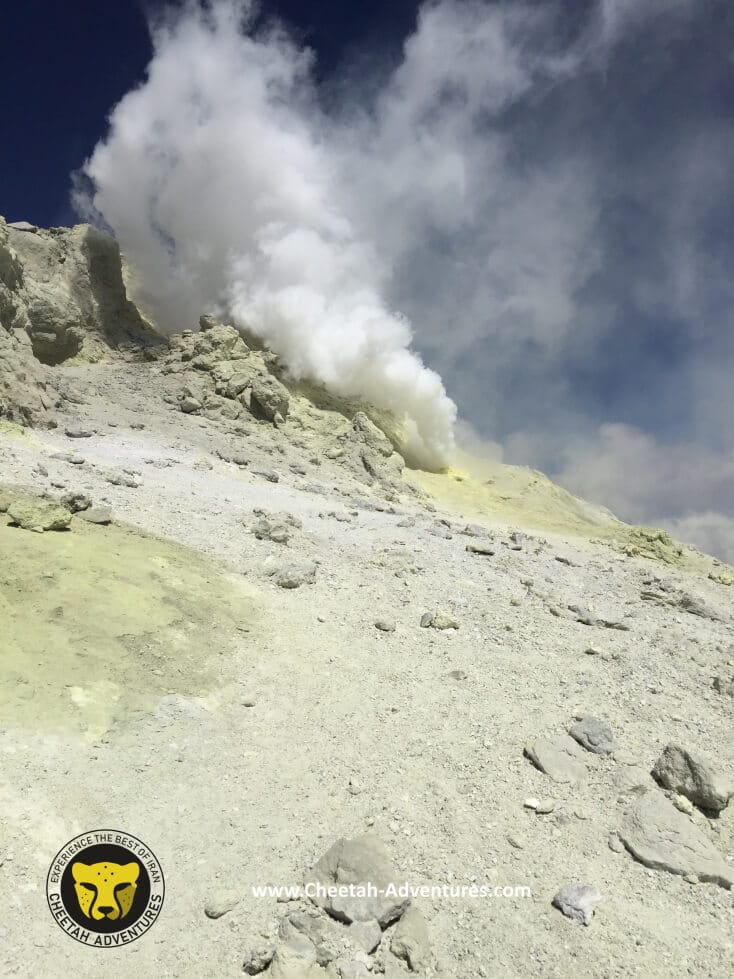
Damavand Smoke Hole at 5550m, Sulfur Hill
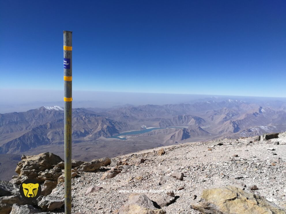
Damavand Summit (5610m), the highest poin in Iran and the middle East
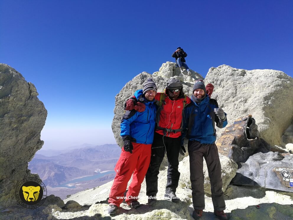
Damavand Summit (5610m), the highest point in Iran and the middle East
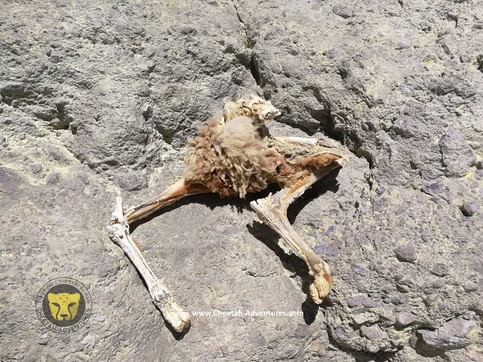
Frozen Sheep on the top of Damavand (5610m)


, Damavand North Eastern Ridge")


Muriel –
If you want to take a look behind the scenes, Cheetah is the right company for damavand climbing tour. I can only warmly recommend ALI and his team and Iran in general.
Taha –
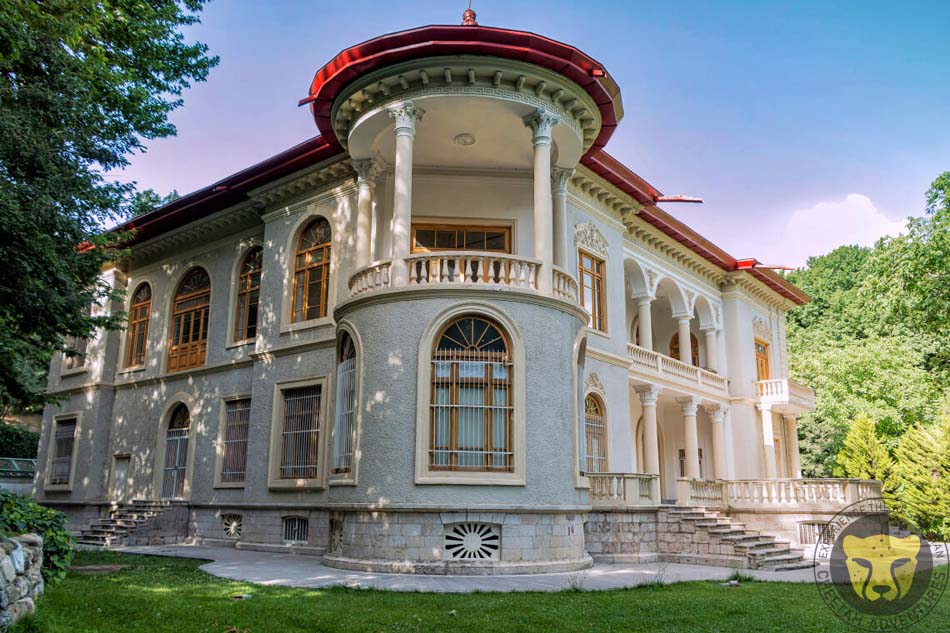
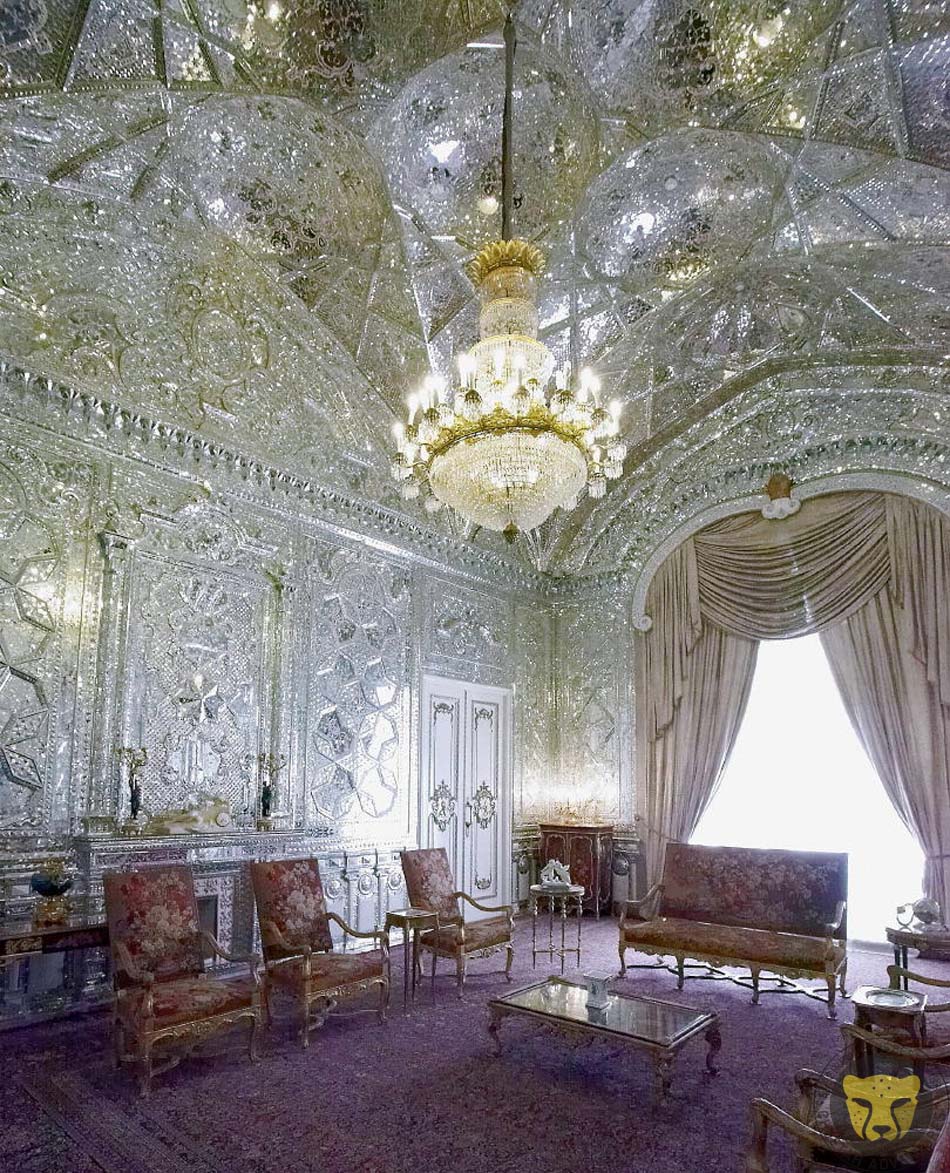
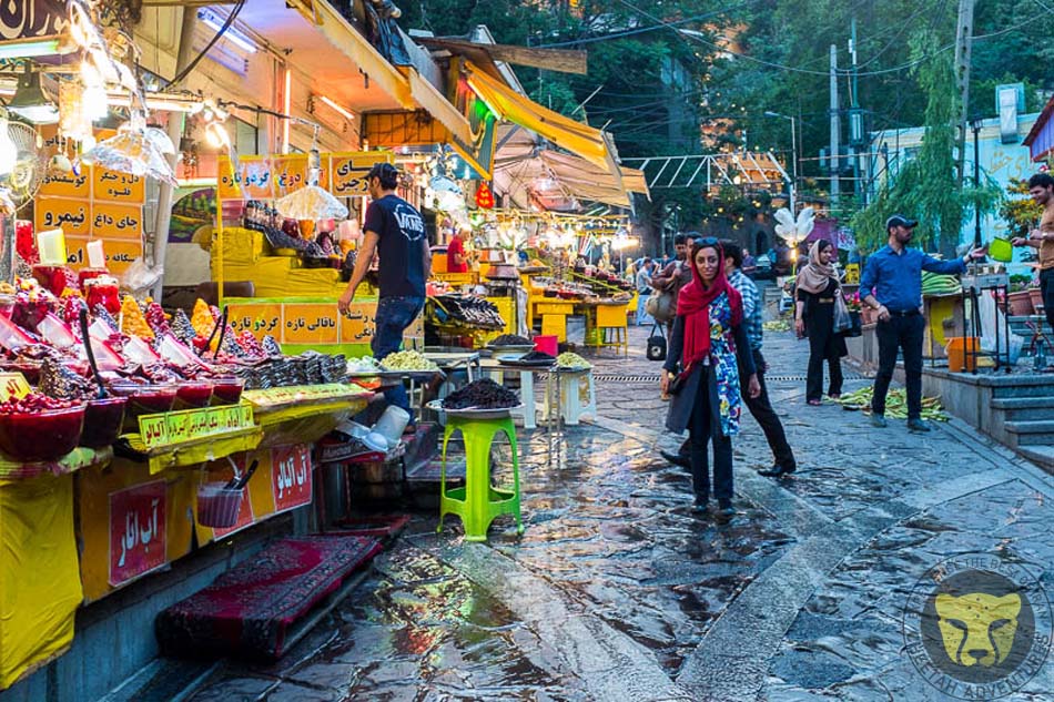
An amazing trip climbing Damavand and visiting Tehran
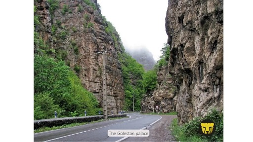
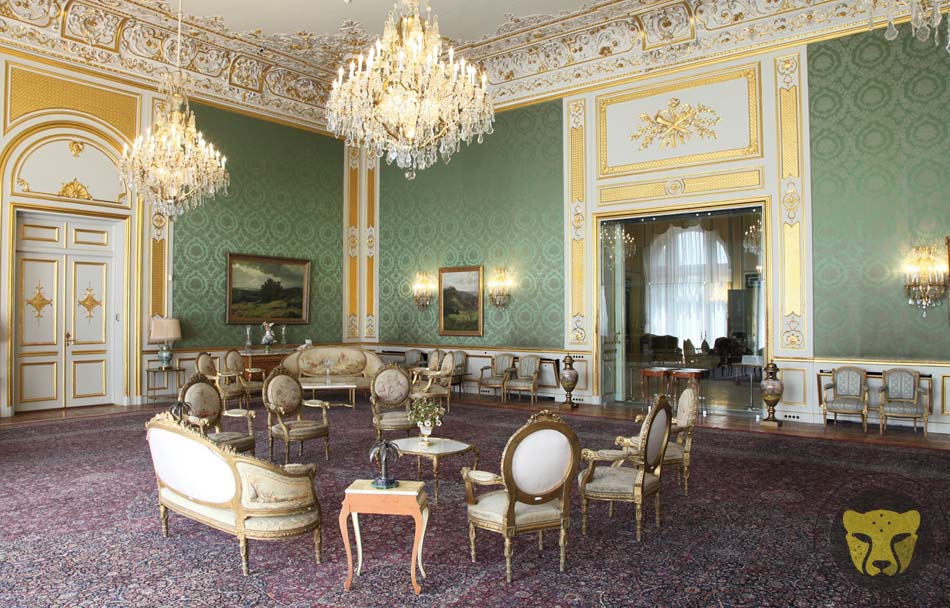
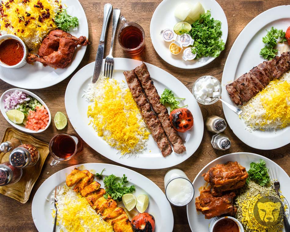
I conquered Damavand and visited Tehran with Cheetah adventures during summer. At first I was reluctant about traveling alone but my guide Mehrdad and the rest of the team made me feel included and were very friendly. Mehrdad was very responsible and a professional mountain climber. He took care of everything during the trek. The trek was planned very well and because of acclimatization I didn’t feel sick as we got higher. The beauty of Mount Damavand is unspeakable and we also saw the Caspian Sea from the peak. After we came back we went to this village and had a very delicious lamb kebab and relaxed in natural hot spring that felt very good after trekking for 4 days. We came back to Tehran later on and Maryam showed me around the city. She knew a lot about the history and showed me Golestan palace and Abgineh museum, told me about Qajar and Pahlavi kings and took me to a great restaurant in Tehran Bazaar. Cheetah adventures made my trip amazing and I want to thank everyone involved especially my guides Mehrdad and Maryam. I wish I had more time to stay in Iran but there will definitely be another trip to Iran for me.